Population Data as 3D Organic Structures
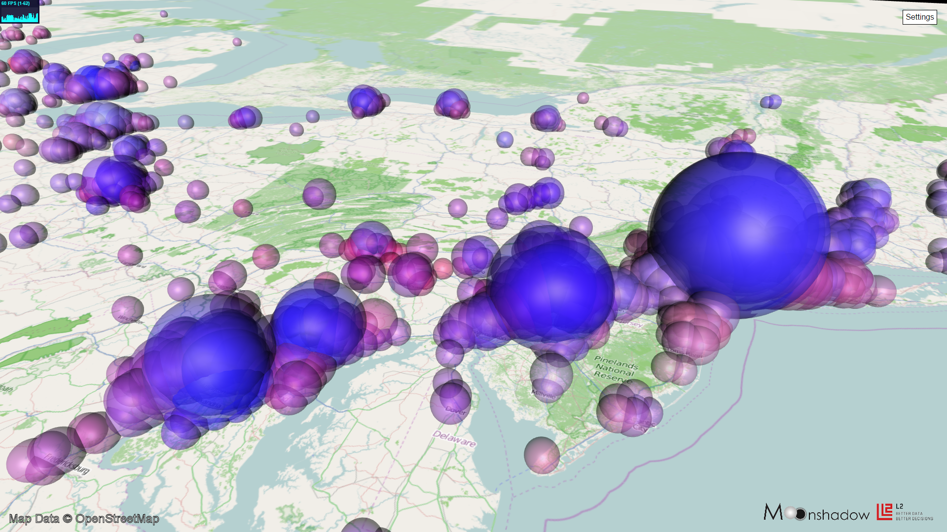
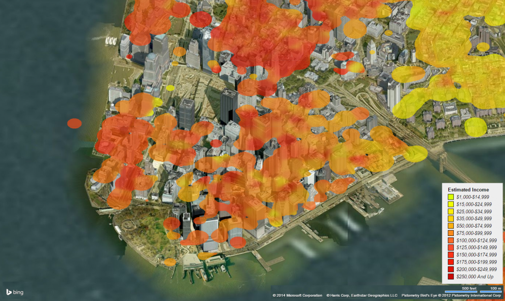
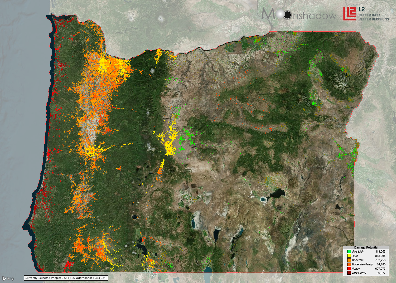
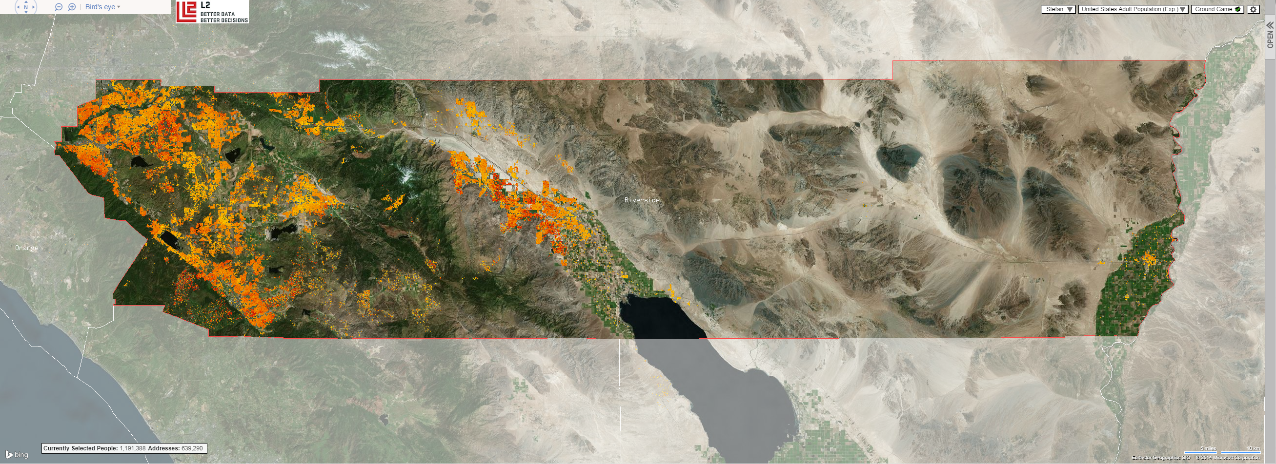
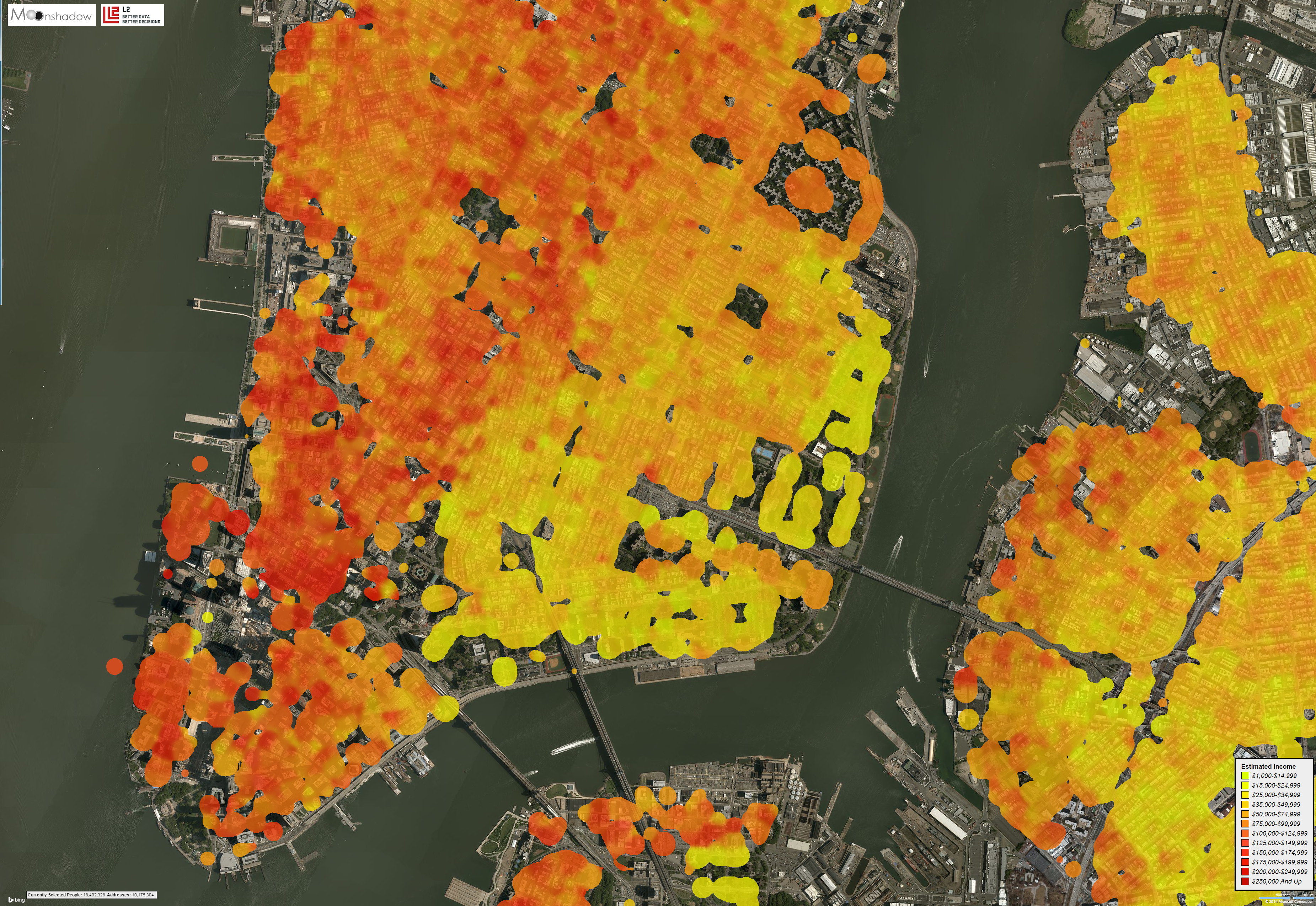
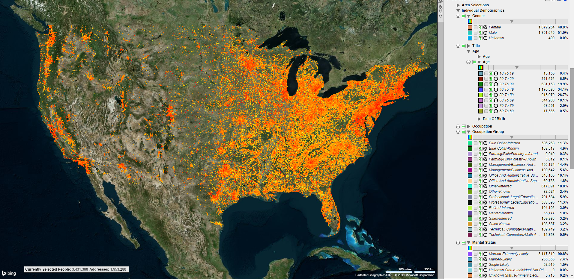
Here’s a thing that has intrigued me for years: wouldn’t it be cool if we could convert our population databases with hundreds of millions of records into 3D models and fly through them.
Over the last few months we – finally – developed the technology to convert big databases into 3D models in a matter of seconds. After the model has been converted you can ‘fly’ through it in real time. We are using OpenStreetMaps for the underlying maps. This blog posting is the first time we are publishing images from the 3D models. I choose some of the more artistic […]

