Big Data Visualizer
Visualize your organization’s big data over maps
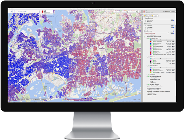
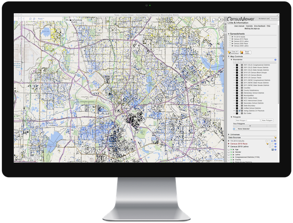
Moonshadow’s intuitive user interfaces are built around the familiar Bing Maps online environment, so it only takes minutes – not hours or days – to get up to speed. Side panel controls allow you to filter, target and visualize any data that includes a geospatial component by any combination of attributes and color the map markers by a variety of different criteria – all on the fly.
Easily switch from map to satellite or hybrid views. Statistical counts and percentages are updated instantly to reflect your current map view as you zoom or pan.
Our GeoSpatial solutions rely on our proprietary, patent pending Ephemeris database technology and can also be combined with our mobile technologies to keep you up-to-date on the status of employees or volunteers in the field using iPhones, iPads and other Internet-connected “app phones” and mobile devices.
Web-based solutions, no software to install
Moonshadow Mobile’s data mapping and visualization solutions are web-based, live “in the cloud” and have no specialized hardware requirements. There is no software to install. You can access them via a broadband connection using an Internet web browser from both Windows and Mac OS computers. And everything we do combines the remarkable speed of our technology with ease of use.
A key element in disseminating vital data within your organization or pushing that information out to the public is data visualization. Wrapping your brain around massive amounts of data can be challenging. Sifting through large volumes of information in search of the most relevant pieces of related content can be difficult, even when you know what you are looking for. As an essential part of business intelligence, data mapping and visualization makes it all much easier, allowing you to see the concepts and results in more interesting and useful ways to make faster and better-informed strategic, managerial and operational decisions.


